Alliance MBS Observatory launches platform to track Covid-19 levels in Greater Manchester, using ART tracking
General information
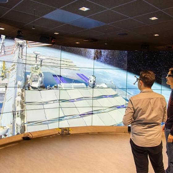
The Greater Manchester Digital Twin model is an immersive 320 degree 3D virtual reality simulation of the city that can superimpose a variety of datasets depending on exactly what information the viewer wants to see.
Data scientists at AMBS have created a program using geographic heat maps and 3D bar charts which enables decision-makers and the public to see how levels of Covid-19 infections have changed across different parts of the city over time and possible contagion paths.
They believe the platform could have significant benefits for a number of health organizations and government bodies, especially as it links a number of diverse datasets such as multiple deprivation indices, air pollution, and local amenities such as schools and hospitals. Mixing such data could, for instance, help city health chiefs gain a better understanding of why specific areas of the city might be more prone to higher levels of infections than others.
Impact
Such is the potential of the software that a collaboration between the School of Health Sciences at The University of Manchester and Alliance MBS has now been launched to explore the opportunities for impact and research arising out of the platform for current epidemiological research.
Dr Qudamah Quboa, Research Associate at the DVO, said: "The beauty of the platform is that you can bring together a number of different metrics, whether that’s Covid-19 infections, traffic and pollution levels, deprivation indicators, house prices, or crime statistics.
"In terms of Covid-19 we think the platform could potentially be very useful for anyone tracking infection levels across the city region from one week to the next. A heat map enables you to see where the infections are highest, and you can also drill down to see how different factors might be leading to the spread of infections, such as maybe the presence of a large secondary school in a specific area. Also, by viewing the data on screen, one could also easily track the impact of a particular region going from tier three to tier two restrictions, or vice versa."
Dr Quboa added that the DVO also had the potential to recreate such a city simulation for virtually any location. "In theory we can create these maps for virtually every city in the world."
Applications
The platform can also be used for a vast range of other applications. As he added: "For instance, one could also superimpose on the map NO2 emission data from publicly available sensors so that you can see levels of air pollution across the city. Traffic flows across the city using real traffic datasets could also be added to help transport chiefs monitor traffic levels at peak times, and link flows with real-time air quality." The map can also be superimposed with indices such as house prices and land value datasets, and can also be of use to anyone looking to construct a new building.
"For instance a retailer can see how a proposed building will look if it was dropped into a specific space and exactly how it would fit in with the surrounding community, even down to how the sun would be reflected on the building. It’s a real life, immersive experience which appeals to a vast range of different users."
Original source:
https://www.alliancembs.manchester.ac.uk/news/alliance-mbs-observatory-launches-platform-to-track-covid-19-levels-in-greater-manchester/
Video: Find out more about the Data Visualisation Observatory


